


About the race
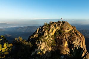
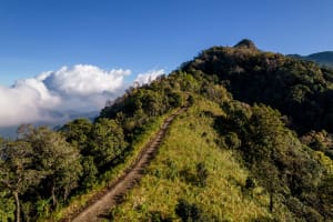
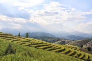
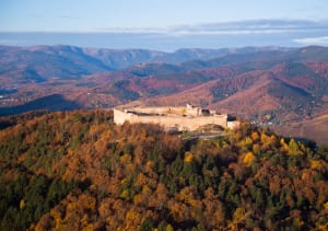
Trail 100 Andorra by UTMB® is the exciting new trail running expedition into the mighty Pyrenees. Featuring a choice of distances to suit all runner levels, this event allows runners to test the limits of their capabilities while exploring the beauty and rich cultural heritage of Andorra. With 10km, 21km, 50km, 80km, and 105km options available, simply choose your distance and let the adventure begin.
Discover the races

Full
Race Category

Running Stones
4
Distance
107 KM
Elevation Gain
6700 M+
Full
Race Category

Running Stones
3
Distance
79 KM
Elevation Gain
3900 M+

Full
Race Category

Running Stones
2
Distance
50 KM
Elevation Gain
3400 M+

Full
Race Category

Running Stones
1
Distance
21.5 KM
Elevation Gain
1800 M+

Full
Distance
10 KM
Elevation Gain
500 M+
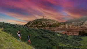
Andorra Trail100 Best Moments
Sign up for Trail 100 Andorra by UTMB Announcements
Fill out the form below to get notifications for this race and other related events and be up to speed on opening dates, event announcements, future race dates, and should additional race entries become available in the case of a sellout.

DISCOVER YOUR STATISTICS AND FOLLOW YOUR QUEST
Create a 'My UTMB' account to access detailed statistics about your past races, consult your UTMB Index, compare your performance against fellow trail runners, check your amount of Running Stones, view your upcoming UTMB World Series Events, and much more.